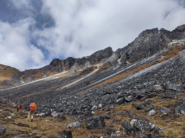
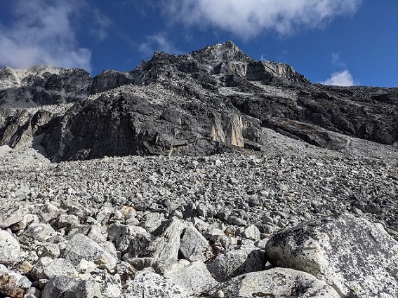
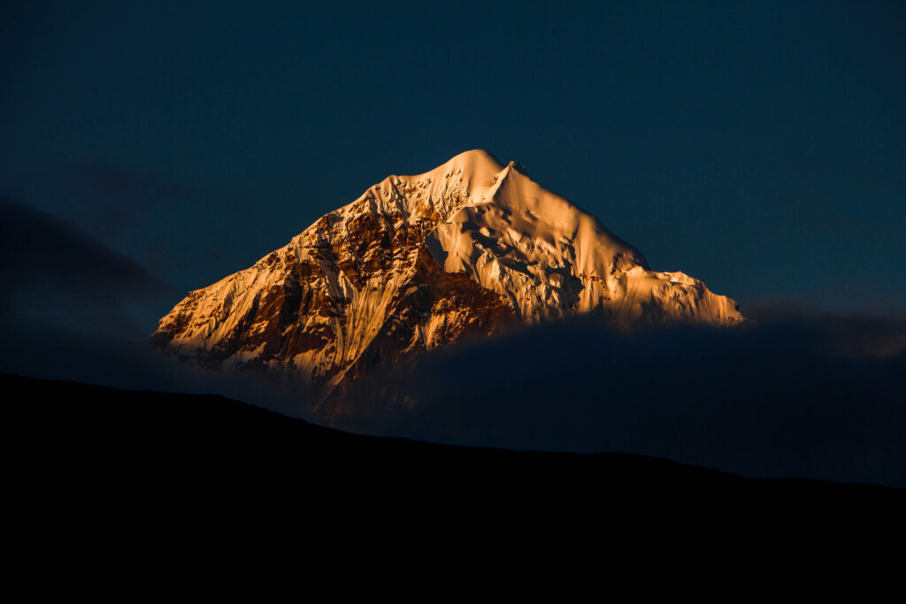
Kang La is a high altitude mountain pass at an altitude of 16373 ft, which lies in between the Kang peak on the left and an unnamed peak on its right, among the remote and rocky terrains of the Sikkim – Nepal border. Although this pass has faded into oblivion, once upon a time it used to be a part of an important ancient salt route.
Region : Sikkim
Duration: 9 Days
Difficulty level: Difficult
Best time to visit: September-October
Local guide: Lokendra Gurung (Contact: +91 9339023345)
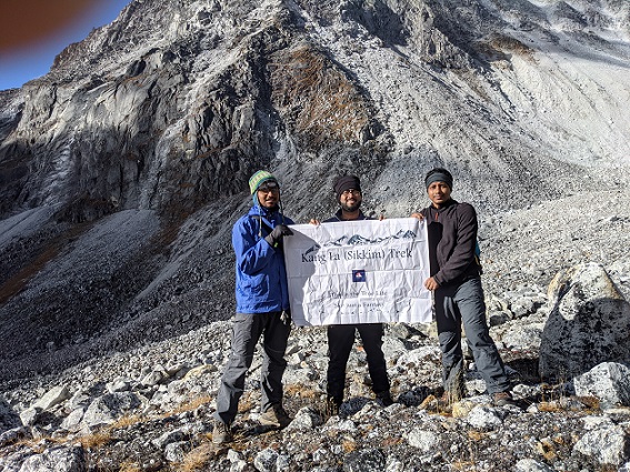
Our team: Avik Ghosh, Nilanjan Majumder, Rakesh Manna
Time of Trek: October, 2021
Brief Itinerary:
Day 0 : Siliguri to Yuksom – 121 km
Day 1 : Yuksom to Tshoka – 16 km
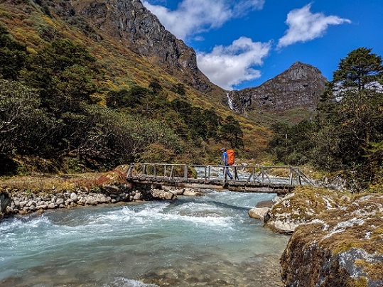
Day 2 : Tshoka to Doring – 11 km
Day 3 : Doring to Rolepthang – 9 km
Day 4 : Rolepthang to Chhorpanchyang – 9 km
Day 5 : Chhorpanchyang to Kang La to Chhorpanchyang – 6 km
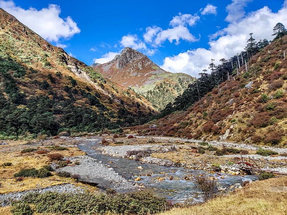
Chhorpanchyang to Kokling – 10 km
Day 6 : Kokling to Gomathang – 9 km
Day 7 : Gomathang to Nepali Jumley Pokhri – 6 km
Day 8 : Nepali Jumley Pokhri to Kag Bhir La to Danphebir La to Naya Patal – 14 km
Day 9 : Naya Patal to Sangkhola – 10 km
Sangkhola to Pelling (by car) Back : Pelling to Siliguri – 130 km